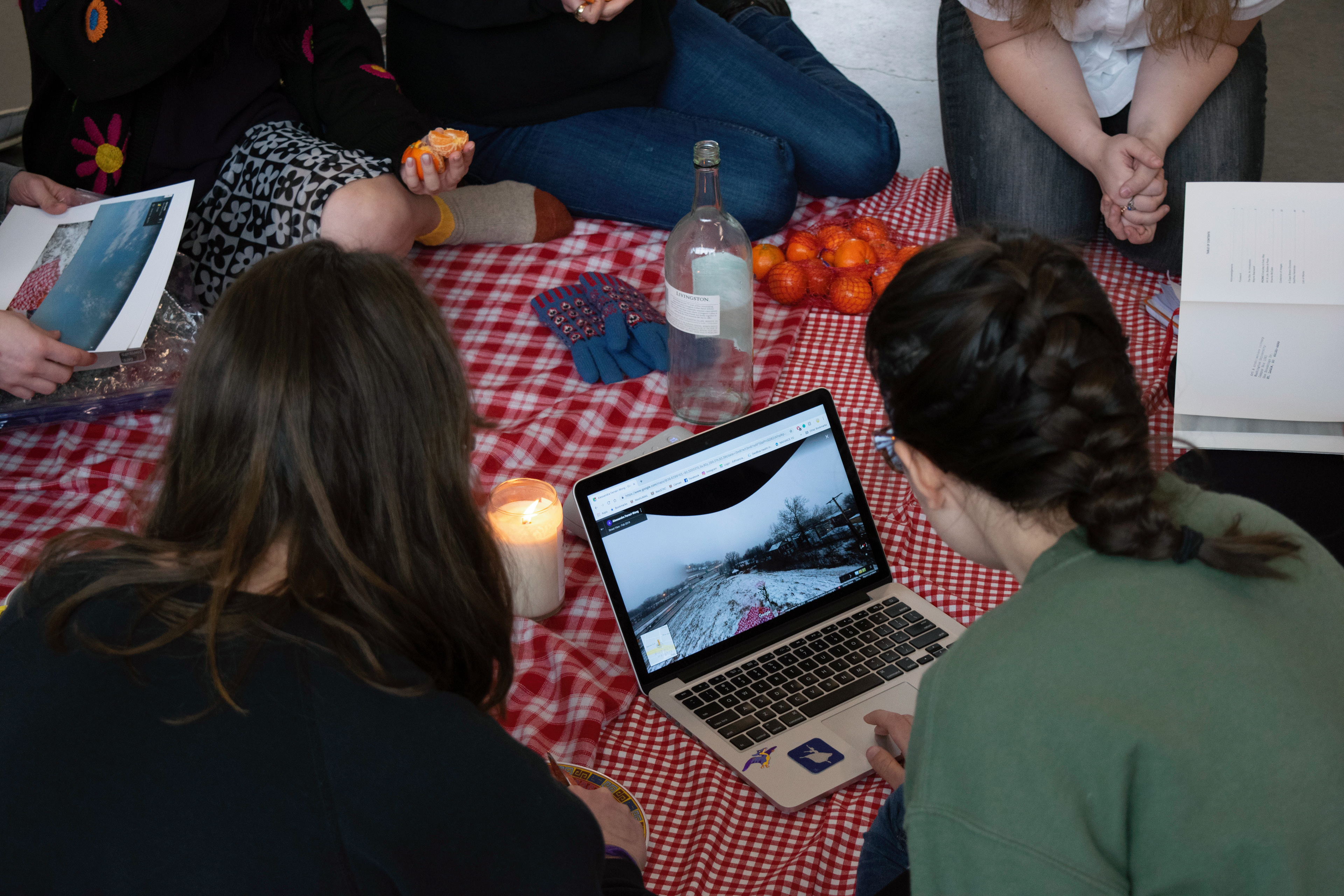
A picnic occurred on a cold, snowy day at 38.629959, -90.320264: a grassy mound overlooking route 64 in Richmond Heights, MO. This event was documented on Google Street View. The picnic now travels, reconstructed in different locations as an interactive installation that offers traces of the original event. Each consecutive reinstallation is further documented on Google Street View.